
Thank you for supporting this site ❤️
Make a donation
Make a donation
Erembodegem topographic map
Click on the map to display elevation.
Thank you for supporting this site ❤️
Make a donation
Make a donation
About this map
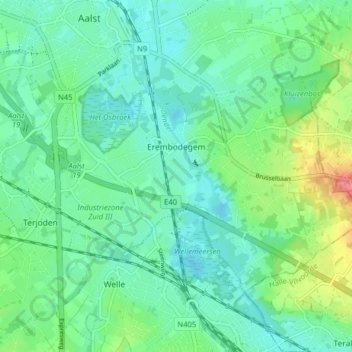
Name: Erembodegem topographic map, elevation, terrain.
Location: Erembodegem, Aalst, East Flanders, Belgium (50.89938 4.02191 50.93247 4.10113)
Average elevation: 21 m
Minimum elevation: 3 m
Maximum elevation: 71 m
Thank you for supporting this site ❤️
Make a donation
Make a donation