
Le Hang topographic map
Interactive map
Click on the map to display elevation.
About this map
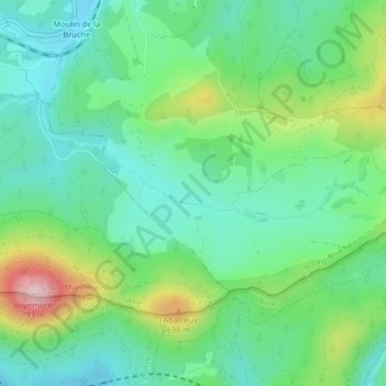
Name: Le Hang topographic map, elevation, terrain.
Average elevation: 580 m
Minimum elevation: 503 m
Maximum elevation: 764 m
Other topographic maps
Click on a map to view its topography, its elevation and its terrain.
Hauts-Champs
France > Grand Est > Bas-Rhin > Bourg-Bruche
Hauts-Champs, Bourg-Bruche, Molsheim, Bas-Rhin, Grand Est, France métropolitaine, 67420, France
Average elevation: 590 m