
肇源县 topographic map
Interactive map
Click on the map to display elevation.
About this map
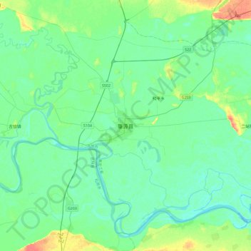
Name: 肇源县 topographic map, elevation, terrain.
Location: 肇源县, 肇源镇, 肇源县, 大庆市, 黑龙江省, 中国 (45.35896 124.91781 45.67896 125.23781)
Average elevation: 130 m
Minimum elevation: 121 m
Maximum elevation: 161 m