
Thank you for supporting this site ❤️
Make a donation
Make a donation
Red Hill topographic map
Click on the map to display elevation.
Thank you for supporting this site ❤️
Make a donation
Make a donation
About this map
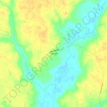
Name: Red Hill topographic map, elevation, terrain.
Location: Red Hill, Sampson County, North Carolina, United States (35.12794 -78.40917 35.16794 -78.36917)
Average elevation: 47 m
Minimum elevation: 30 m
Maximum elevation: 61 m
Thank you for supporting this site ❤️
Make a donation
Make a donation
Other topographic maps
Click on a map to view its topography, its elevation and its terrain.