
Thank you for supporting this site ❤️
Make a donation
Make a donation
Carthage topographic map
Click on the map to display elevation.
Thank you for supporting this site ❤️
Make a donation
Make a donation
About this map
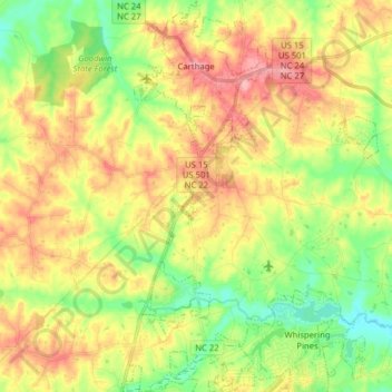
Name: Carthage topographic map, elevation, terrain.
Location: Carthage, Moore County, North Carolina, United States (35.23855 -79.44226 35.36723 -79.34362)
Average elevation: 128 m
Minimum elevation: 80 m
Maximum elevation: 181 m
Thank you for supporting this site ❤️
Make a donation
Make a donation