
Thank you for supporting this site ❤️
Make a donation
Make a donation
Supa topographic map
Click on the map to display elevation.
Thank you for supporting this site ❤️
Make a donation
Make a donation
About this map
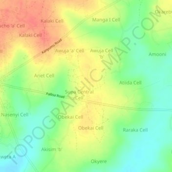
Name: Supa topographic map, elevation, terrain.
Location: Supa, Pallisa, Eastern Region, Uganda (1.14667 33.71333 1.18667 33.75333)
Average elevation: 1,071 m
Minimum elevation: 1,044 m
Maximum elevation: 1,099 m
Thank you for supporting this site ❤️
Make a donation
Make a donation