
Thank you for supporting this site ❤️
Make a donation
Make a donation
Sembayat topographic map
Click on the map to display elevation.
Thank you for supporting this site ❤️
Make a donation
Make a donation
About this map
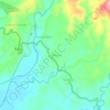
Name: Sembayat topographic map, elevation, terrain.
Location: Sembayat, Seluma, Bengkulu, Sumatra, Indonesia (-4.09981 102.57076 -4.05981 102.61076)
Average elevation: 55 m
Minimum elevation: 8 m
Maximum elevation: 179 m
Thank you for supporting this site ❤️
Make a donation
Make a donation
Other topographic maps
Click on a map to view its topography, its elevation and its terrain.