
Bagnes topographic map
Interactive map
Click on the map to display elevation.
About this map
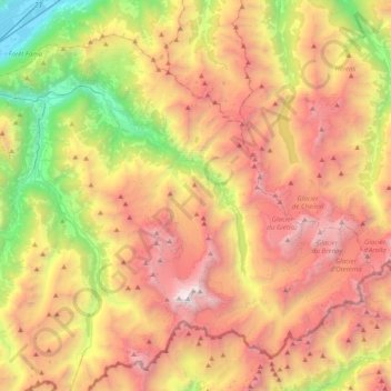
Name: Bagnes topographic map, elevation, terrain.
Location: Bagnes, Entremont, Valais/Wallis, 1934, Switzerland (45.89651 7.17771 46.12363 7.48829)
Average elevation: 2,450 m
Minimum elevation: 717 m
Maximum elevation: 4,300 m