
Thank you for supporting this site ❤️
Make a donation
Make a donation
Midway topographic map
Click on the map to display elevation.
Thank you for supporting this site ❤️
Make a donation
Make a donation
About this map
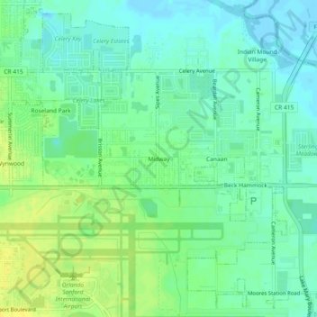
Name: Midway topographic map, elevation, terrain.
Location: Midway, Seminole County, Florida, United States (28.77027 -81.25090 28.81027 -81.21090)
Average elevation: 9 m
Minimum elevation: -1 m
Maximum elevation: 21 m
Thank you for supporting this site ❤️
Make a donation
Make a donation
Other topographic maps
Click on a map to view its topography, its elevation and its terrain.