
Thank you for supporting this site ❤️
Make a donation
Make a donation
Fancy Bluff topographic map
Click on the map to display elevation.
Thank you for supporting this site ❤️
Make a donation
Make a donation
About this map
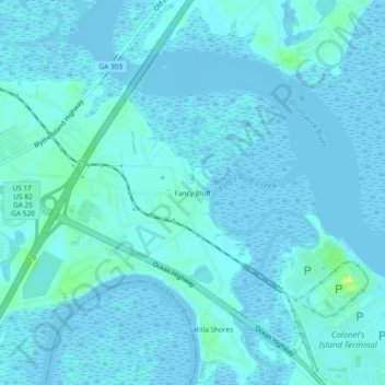
Name: Fancy Bluff topographic map, elevation, terrain.
Location: Fancy Bluff, Glynn County, Georgia, United States (31.11995 -81.57816 31.15995 -81.53816)
Average elevation: 3 m
Minimum elevation: -3 m
Maximum elevation: 26 m
Thank you for supporting this site ❤️
Make a donation
Make a donation
Other topographic maps
Click on a map to view its topography, its elevation and its terrain.