
Thank you for supporting this site ❤️
Make a donation
Make a donation
Halaharvi topographic map
Click on the map to display elevation.
Thank you for supporting this site ❤️
Make a donation
Make a donation
About this map
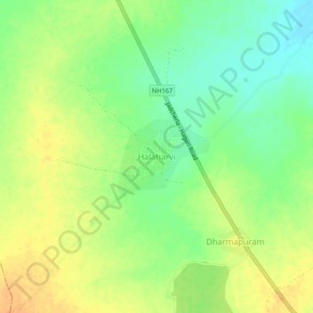
Name: Halaharvi topographic map, elevation, terrain.
Location: Halaharvi, Nandavaram, Kurnool, Andhra Pradesh, India (15.80562 77.42501 15.84562 77.46501)
Average elevation: 353 m
Minimum elevation: 336 m
Maximum elevation: 368 m
Thank you for supporting this site ❤️
Make a donation
Make a donation