
Thank you for supporting this site ❤️
Make a donation
Make a donation
Chhinchu topographic map
Click on the map to display elevation.
Thank you for supporting this site ❤️
Make a donation
Make a donation
About this map
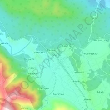
Name: Chhinchu topographic map, elevation, terrain.
Location: Chhinchu, Bheriganga, Surkhet, Karnali Province, Nepal (28.43920 81.69877 28.47920 81.73877)
Average elevation: 625 m
Minimum elevation: 507 m
Maximum elevation: 975 m
Thank you for supporting this site ❤️
Make a donation
Make a donation
Other topographic maps
Click on a map to view its topography, its elevation and its terrain.