
Thank you for supporting this site ❤️
Make a donation
Make a donation
Pleasanton topographic map
Click on the map to display elevation.
Thank you for supporting this site ❤️
Make a donation
Make a donation
About this map
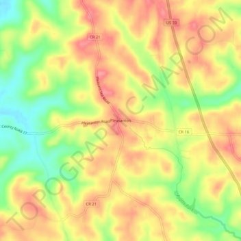
Name: Pleasanton topographic map, elevation, terrain.
Location: Pleasanton, Athens, Athens County, Ohio, United States (39.22063 -82.11320 39.26063 -82.07320)
Average elevation: 267 m
Minimum elevation: 213 m
Maximum elevation: 306 m
Thank you for supporting this site ❤️
Make a donation
Make a donation
Other topographic maps
Click on a map to view its topography, its elevation and its terrain.