
Thank you for supporting this site ❤️
Make a donation
Make a donation
Hanford topographic map
Click on the map to display elevation.
Thank you for supporting this site ❤️
Make a donation
Make a donation
About this map
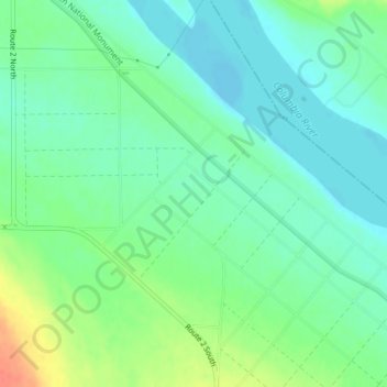
Name: Hanford topographic map, elevation, terrain.
Location: Hanford, Benton County, Washington, United States (46.56937 -119.39087 46.58937 -119.37087)
Average elevation: 123 m
Minimum elevation: 108 m
Maximum elevation: 156 m
Thank you for supporting this site ❤️
Make a donation
Make a donation
Other topographic maps
Click on a map to view its topography, its elevation and its terrain.