
Thank you for supporting this site ❤️
Make a donation
Make a donation
Homewood topographic map
Click on the map to display elevation.
Thank you for supporting this site ❤️
Make a donation
Make a donation
Homewood
Homewood was located on the Atchison, Topeka and Santa Fe Railway at altitude 1,039 feet (317 m) above sea level. In 1900, it contained a population of about 100 inhabitants. Around this time, a number of stores operated out of the community, and it also had its own school. It was the supply and shipping point for the surrounding rural area.
Thank you for supporting this site ❤️
Make a donation
Make a donation
About this map
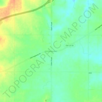
Name: Homewood topographic map, elevation, terrain.
Location: Homewood, Franklin County, Kansas, United States (38.49474 -95.39887 38.53474 -95.35887)
Average elevation: 320 m
Minimum elevation: 302 m
Maximum elevation: 347 m
Thank you for supporting this site ❤️
Make a donation
Make a donation
Other topographic maps
Click on a map to view its topography, its elevation and its terrain.