
Thank you for supporting this site ❤️
Make a donation
Make a donation
Bhewri topographic map
Click on the map to display elevation.
Thank you for supporting this site ❤️
Make a donation
Make a donation
About this map
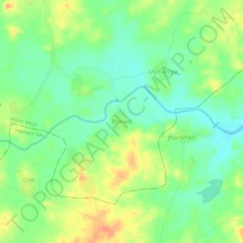
Name: Bhewri topographic map, elevation, terrain.
Location: Bhewri, Aspur Tehsil, Dungarpur, Rajasthan, India (23.78184 74.03060 23.82184 74.07060)
Average elevation: 178 m
Minimum elevation: 160 m
Maximum elevation: 201 m
Thank you for supporting this site ❤️
Make a donation
Make a donation