
呼玛县 topographic map
Interactive map
Click on the map to display elevation.
About this map
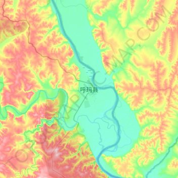
Name: 呼玛县 topographic map, elevation, terrain.
Location: 呼玛县, 呼玛镇, 呼玛县, 大兴安岭地区, 黑龙江省, 中国 (51.56447 126.48482 51.88447 126.80482)
Average elevation: 242 m
Minimum elevation: 160 m
Maximum elevation: 390 m