
大兴镇 topographic map
Interactive map
Click on the map to display elevation.
About this map
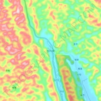
Name: 大兴镇 topographic map, elevation, terrain.
Location: 大兴镇, 都安瑶族自治县, 河池市, 广西壮族自治区, 中国 (24.12087 107.94626 24.20087 108.02626)
Average elevation: 398 m
Minimum elevation: 172 m
Maximum elevation: 711 m
Other topographic maps
Click on a map to view its topography, its elevation and its terrain.