
Thank you for supporting this site ❤️
Make a donation
Make a donation
Cofer topographic map
Click on the map to display elevation.
Thank you for supporting this site ❤️
Make a donation
Make a donation
About this map
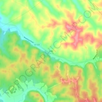
Name: Cofer topographic map, elevation, terrain.
Location: Cofer, Metcalfe County, Kentucky, United States (36.93978 -85.51024 36.97978 -85.47024)
Average elevation: 273 m
Minimum elevation: 220 m
Maximum elevation: 328 m
Thank you for supporting this site ❤️
Make a donation
Make a donation