
者竜乡 topographic map
Interactive map
Click on the map to display elevation.
About this map
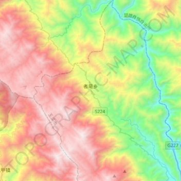
Name: 者竜乡 topographic map, elevation, terrain.
Location: 者竜乡, 新平彝族傣族自治县, 玉溪市, 云南省, 中国 (24.18050 101.27532 24.43172 101.48778)
Average elevation: 1,740 m
Minimum elevation: 550 m
Maximum elevation: 3,129 m