
齐乐镇 topographic map
Interactive map
Click on the map to display elevation.
About this map
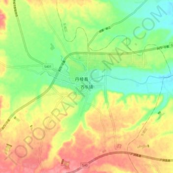
Name: 齐乐镇 topographic map, elevation, terrain.
Location: 齐乐镇, 丹棱县, 眉山市, 四川省, 中国 (29.97136 103.47867 30.05136 103.55867)
Average elevation: 509 m
Minimum elevation: 461 m
Maximum elevation: 562 m
Other topographic maps
Click on a map to view its topography, its elevation and its terrain.