
Thank you for supporting this site ❤️
Make a donation
Make a donation
Stillwell topographic map
Click on the map to display elevation.
Thank you for supporting this site ❤️
Make a donation
Make a donation
About this map
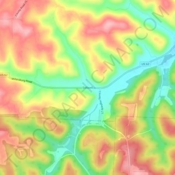
Name: Stillwell topographic map, elevation, terrain.
Location: Stillwell, Holmes County, Ohio, United States (40.44062 -82.11432 40.48062 -82.07432)
Average elevation: 327 m
Minimum elevation: 254 m
Maximum elevation: 392 m
Thank you for supporting this site ❤️
Make a donation
Make a donation
Other topographic maps
Click on a map to view its topography, its elevation and its terrain.