
中山镇 topographic map
Interactive map
Click on the map to display elevation.
About this map
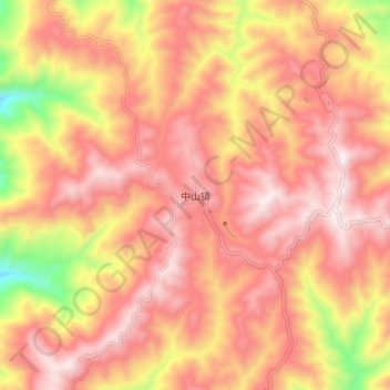
Name: 中山镇 topographic map, elevation, terrain.
Location: 中山镇, 楚雄市, 楚雄彝族自治州, 云南省, 中国 (24.86727 101.05147 24.94727 101.13147)
Average elevation: 2,243 m
Minimum elevation: 1,698 m
Maximum elevation: 2,537 m
Other topographic maps
Click on a map to view its topography, its elevation and its terrain.