
Thank you for supporting this site ❤️
Make a donation
Make a donation
Pantwari topographic map
Click on the map to display elevation.
Thank you for supporting this site ❤️
Make a donation
Make a donation
About this map
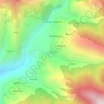
Name: Pantwari topographic map, elevation, terrain.
Location: Pantwari, Dhanaulti, Tehri Garhwal, Uttarakhand, 249186, India (30.56551 78.06897 30.60551 78.10897)
Average elevation: 1,605 m
Minimum elevation: 1,047 m
Maximum elevation: 2,372 m
Thank you for supporting this site ❤️
Make a donation
Make a donation