
Thank you for supporting this site ❤️
Make a donation
Make a donation
Saul topographic map
Click on the map to display elevation.
Thank you for supporting this site ❤️
Make a donation
Make a donation
About this map
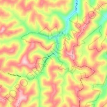
Name: Saul topographic map, elevation, terrain.
Location: Saul, Perry County, Kentucky, 40981, United States (37.25259 -83.51546 37.29259 -83.47546)
Average elevation: 403 m
Minimum elevation: 259 m
Maximum elevation: 501 m
Thank you for supporting this site ❤️
Make a donation
Make a donation
Other topographic maps
Click on a map to view its topography, its elevation and its terrain.