
Thank you for supporting this site ❤️
Make a donation
Make a donation
Bukit Buluk topographic map
Click on the map to display elevation.
Thank you for supporting this site ❤️
Make a donation
Make a donation
About this map
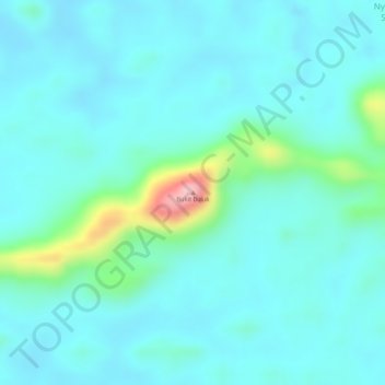
Name: Bukit Buluk topographic map, elevation, terrain.
Location: Bukit Buluk, Lubok Antu, Sri Aman Division, Sarawak, Malaysia (1.08051 111.80597 1.08061 111.80607)
Average elevation: 52 m
Minimum elevation: 19 m
Maximum elevation: 200 m
Thank you for supporting this site ❤️
Make a donation
Make a donation
Other topographic maps
Click on a map to view its topography, its elevation and its terrain.