
Thank you for supporting this site ❤️
Make a donation
Make a donation
Hillsdale topographic map
Click on the map to display elevation.
Thank you for supporting this site ❤️
Make a donation
Make a donation
About this map
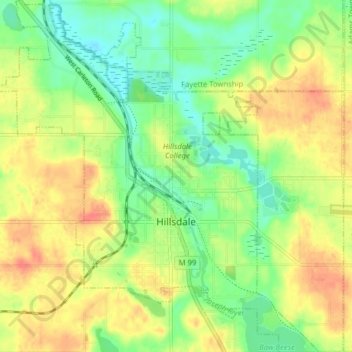
Name: Hillsdale topographic map, elevation, terrain.
Location: Hillsdale, Hillsdale County, Michigan, United States (41.89812 -84.67041 41.95697 -84.59836)
Average elevation: 346 m
Minimum elevation: 320 m
Maximum elevation: 374 m
Thank you for supporting this site ❤️
Make a donation
Make a donation
Other topographic maps
Click on a map to view its topography, its elevation and its terrain.
Thank you for supporting this site ❤️
Make a donation
Make a donation
Thank you for supporting this site ❤️
Make a donation
Make a donation