
Lumbung topographic map
Click on the map to display elevation.
About this map
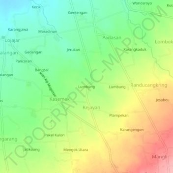
Name: Lumbung topographic map, elevation, terrain.
Location: Lumbung, Kejayan, Bondowoso, East Java, Java, Indonesia (-7.97423 113.85358 -7.93423 113.89358)
Average elevation: 319 m
Minimum elevation: 267 m
Maximum elevation: 389 m