
Thank you for supporting this site ❤️
Make a donation
Make a donation
Dunbridge topographic map
Click on the map to display elevation.
Thank you for supporting this site ❤️
Make a donation
Make a donation
About this map
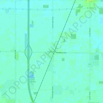
Name: Dunbridge topographic map, elevation, terrain.
Location: Dunbridge, Wood County, Ohio, 43414, United States (41.43811 -83.63021 41.47811 -83.59021)
Average elevation: 202 m
Minimum elevation: 198 m
Maximum elevation: 209 m
Thank you for supporting this site ❤️
Make a donation
Make a donation
Other topographic maps
Click on a map to view its topography, its elevation and its terrain.