
Thank you for supporting this site ❤️
Make a donation
Make a donation
Lapal topographic map
Click on the map to display elevation.
Thank you for supporting this site ❤️
Make a donation
Make a donation
About this map
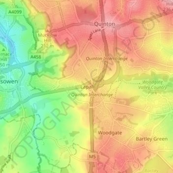
Name: Lapal topographic map, elevation, terrain.
Location: Lapal, Dudley, West Midlands, England, B62 0AW, United Kingdom (52.42798 -2.03967 52.46798 -1.99967)
Average elevation: 174 m
Minimum elevation: 107 m
Maximum elevation: 230 m
Thank you for supporting this site ❤️
Make a donation
Make a donation