
Thank you for supporting this site ❤️
Make a donation
Make a donation
Poigar topographic map
Click on the map to display elevation.
Thank you for supporting this site ❤️
Make a donation
Make a donation
About this map
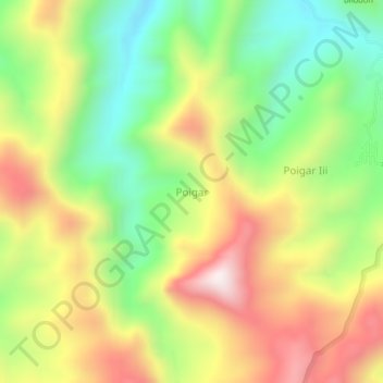
Name: Poigar topographic map, elevation, terrain.
Location: Poigar, Bolaang Mongondow, North Sulawesi, Sulawesi, Indonesia (0.92273 124.31828 0.96273 124.35828)
Average elevation: 423 m
Minimum elevation: 80 m
Maximum elevation: 832 m
Thank you for supporting this site ❤️
Make a donation
Make a donation