
Thank you for supporting this site ❤️
Make a donation
Make a donation
Haradh topographic map
Click on the map to display elevation.
Thank you for supporting this site ❤️
Make a donation
Make a donation
About this map
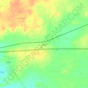
Name: Haradh topographic map, elevation, terrain.
Location: Haradh, Al Ahsa Governorate, Eastern Province, Saudi Arabia (24.10190 49.01298 24.18190 49.09298)
Average elevation: 303 m
Minimum elevation: 285 m
Maximum elevation: 322 m
Thank you for supporting this site ❤️
Make a donation
Make a donation
Other topographic maps
Click on a map to view its topography, its elevation and its terrain.