
长岭街道 topographic map
Interactive map
Click on the map to display elevation.
About this map
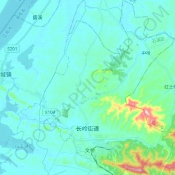
Name: 长岭街道 topographic map, elevation, terrain.
Location: 长岭街道, 云溪区, 岳阳市, 湖南省, 中国 (29.52192 113.30684 29.63782 113.42850)
Average elevation: 57 m
Minimum elevation: 16 m
Maximum elevation: 349 m
Other topographic maps
Click on a map to view its topography, its elevation and its terrain.