
Thank you for supporting this site ❤️
Make a donation
Make a donation
Nogal topographic map
Click on the map to display elevation.
Thank you for supporting this site ❤️
Make a donation
Make a donation
About this map
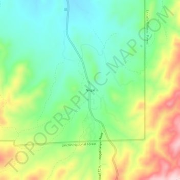
Name: Nogal topographic map, elevation, terrain.
Location: Nogal, Lincoln County, New Mexico, United States (33.53813 -105.72776 33.57813 -105.68776)
Average elevation: 2,016 m
Minimum elevation: 1,914 m
Maximum elevation: 2,191 m
Thank you for supporting this site ❤️
Make a donation
Make a donation