
Thank you for supporting this site ❤️
Make a donation
Make a donation
Glass Rock topographic map
Click on the map to display elevation.
Thank you for supporting this site ❤️
Make a donation
Make a donation
About this map
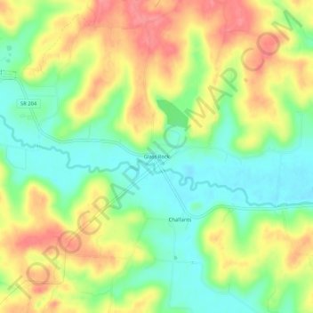
Name: Glass Rock topographic map, elevation, terrain.
Location: Glass Rock, Perry County, Ohio, 43739, United States (39.85729 -82.30904 39.89729 -82.26904)
Average elevation: 283 m
Minimum elevation: 244 m
Maximum elevation: 327 m
Thank you for supporting this site ❤️
Make a donation
Make a donation
Other topographic maps
Click on a map to view its topography, its elevation and its terrain.