
Thank you for supporting this site ❤️
Make a donation
Make a donation
Crickhowell topographic map
Click on the map to display elevation.
Thank you for supporting this site ❤️
Make a donation
Make a donation
About this map
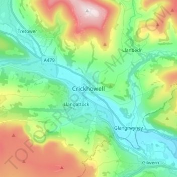
Name: Crickhowell topographic map, elevation, terrain.
Location: Crickhowell, Powys, Wales, NP8 1BJ, United Kingdom (51.81911 -3.17836 51.89911 -3.09836)
Average elevation: 253 m
Minimum elevation: 49 m
Maximum elevation: 701 m
Thank you for supporting this site ❤️
Make a donation
Make a donation