
Thank you for supporting this site ❤️
Make a donation
Make a donation
Olympia topographic map
Click on the map to display elevation.
Thank you for supporting this site ❤️
Make a donation
Make a donation
About this map
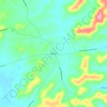
Name: Olympia topographic map, elevation, terrain.
Location: Olympia, Bath County, Kentucky, 40358, United States (38.07814 -83.71575 38.11814 -83.67575)
Average elevation: 248 m
Minimum elevation: 214 m
Maximum elevation: 331 m
Thank you for supporting this site ❤️
Make a donation
Make a donation
Other topographic maps
Click on a map to view its topography, its elevation and its terrain.