
Thank you for supporting this site ❤️
Make a donation
Make a donation
Lohne topographic map
Click on the map to display elevation.
Thank you for supporting this site ❤️
Make a donation
Make a donation
About this map
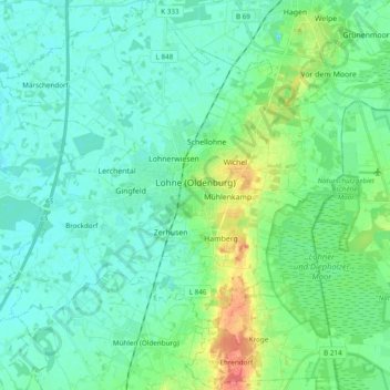
Name: Lohne topographic map, elevation, terrain.
Location: Lohne, Landkreis Vechta, Lower Saxony, 49393, Germany (52.60295 8.13817 52.71965 8.31152)
Average elevation: 37 m
Minimum elevation: 25 m
Maximum elevation: 78 m
Thank you for supporting this site ❤️
Make a donation
Make a donation
Other topographic maps
Click on a map to view its topography, its elevation and its terrain.