
Thank you for supporting this site ❤️
Make a donation
Make a donation
Les Quatre Routes topographic map
Click on the map to display elevation.
Thank you for supporting this site ❤️
Make a donation
Make a donation
About this map
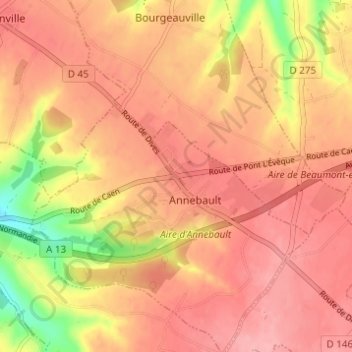
Name: Les Quatre Routes topographic map, elevation, terrain.
Average elevation: 126 m
Minimum elevation: 53 m
Maximum elevation: 158 m
Thank you for supporting this site ❤️
Make a donation
Make a donation
Other topographic maps
Click on a map to view its topography, its elevation and its terrain.
Zone d'Activité d'Annebault
France > Normandie > Calvados > Annebault > Les Quatre Routes
Average elevation: 128 m