
Thank you for supporting this site ❤️
Make a donation
Make a donation
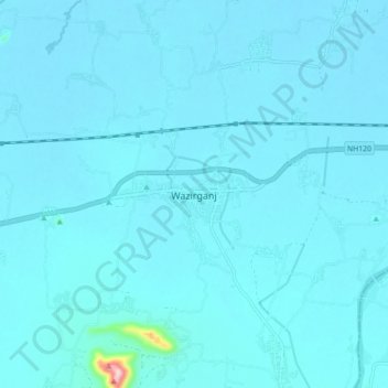
Wazirganj topographic map
Click on the map to display elevation.
Thank you for supporting this site ❤️
Make a donation
Make a donation
Wazirganj
Wazirganj is a historical place from time of *Alha, Udal* This is the oldest temple of Khere Wali Maiya, where Alha and Udal had arrived. Wazirganj is located at 28°13′N 79°03′E / 28.22°N 79.05°E / 28.22; 79.05. It has an average elevation of 174 metres (570 feet).
Thank you for supporting this site ❤️
Make a donation
Make a donation
About this map
Name: Wazirganj topographic map, elevation, terrain.
Location: Wazirganj, Gaya, Bihar, 805131, India (24.76052 85.19807 24.84052 85.27807)
Average elevation: 111 m
Minimum elevation: 99 m
Maximum elevation: 373 m
Thank you for supporting this site ❤️
Make a donation
Make a donation