
Thank you for supporting this site ❤️
Make a donation
Make a donation
Shannon topographic map
Click on the map to display elevation.
Thank you for supporting this site ❤️
Make a donation
Make a donation
About this map
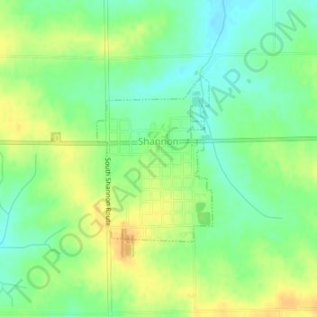
Name: Shannon topographic map, elevation, terrain.
Location: Shannon, Carroll County, Illinois, 61078, United States (42.14614 -89.74693 42.16031 -89.73359)
Average elevation: 283 m
Minimum elevation: 268 m
Maximum elevation: 298 m
Thank you for supporting this site ❤️
Make a donation
Make a donation
Other topographic maps
Click on a map to view its topography, its elevation and its terrain.