
Make a donation
Efrat topographic map
Click on the map to display elevation.
Make a donation
Efrat
Efrat (Hebrew: אֶפְרָת), or previously officially Efrata (Hebrew: אֶפְרָתָה), is an Israeli settlement in the West Bank, established in 1983 in the Judean Mountains. Efrat is located 12 kilometers (7.5 mi) south of Jerusalem, between Bethlehem and Hebron, 6.5 km (4 mi) east of the Green Line, at the Palestinian side of the West Bank wall. The settlement stands at an altitude of up to 960 metres (3,150 feet) above sea level and covers about 6,000 dunam (1,500 acres). Israeli settlements in the West Bank are illegal under international law.
Make a donation
About this map
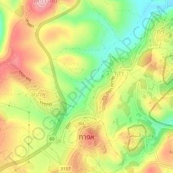
Name: Efrat topographic map, elevation, terrain.
Location: Efrat, Area C, Judea and Samaria, Palestinian Territories (31.64776 35.14557 31.67626 35.17046)
Average elevation: 898 m
Minimum elevation: 808 m
Maximum elevation: 986 m
Make a donation
Other topographic maps
Click on a map to view its topography, its elevation and its terrain.