
Thank you for supporting this site ❤️
Make a donation
Make a donation
Pehserut topographic map
Click on the map to display elevation.
Thank you for supporting this site ❤️
Make a donation
Make a donation
About this map
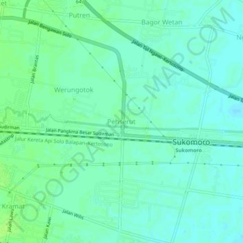
Name: Pehserut topographic map, elevation, terrain.
Location: Pehserut, Nganjuk, East Java, Java, 64481, Indonesia (-7.61910 111.91122 -7.57910 111.95122)
Average elevation: 51 m
Minimum elevation: 46 m
Maximum elevation: 56 m
Thank you for supporting this site ❤️
Make a donation
Make a donation
Other topographic maps
Click on a map to view its topography, its elevation and its terrain.
Thank you for supporting this site ❤️
Make a donation
Make a donation