
西和 topographic map
Interactive map
Click on the map to display elevation.
About this map
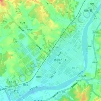
Name: 西和 topographic map, elevation, terrain.
Location: 西和, 桂林镇, 歙县, 黄山市, 安徽省, 245200, 中国 (29.88350 118.42856 29.92350 118.46856)
Average elevation: 128 m
Minimum elevation: 109 m
Maximum elevation: 172 m
Other topographic maps
Click on a map to view its topography, its elevation and its terrain.