
Thank you for supporting this site ❤️
Make a donation
Make a donation
Public Park (free) topographic map
Click on the map to display elevation.
Thank you for supporting this site ❤️
Make a donation
Make a donation
About this map
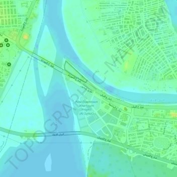
Name: Public Park (free) topographic map, elevation, terrain.
Location: Public Park (free), Khartoum, Al Khartum, Sudan (15.60984 32.49742 15.60994 32.49752)
Average elevation: 380 m
Minimum elevation: 373 m
Maximum elevation: 392 m
Thank you for supporting this site ❤️
Make a donation
Make a donation
Other topographic maps
Click on a map to view its topography, its elevation and its terrain.