
Thank you for supporting this site ❤️
Make a donation
Make a donation
توشكى topographic map
Click on the map to display elevation.
Thank you for supporting this site ❤️
Make a donation
Make a donation
About this map
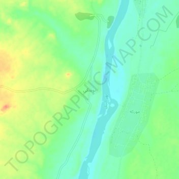
Name: توشكى topographic map, elevation, terrain.
Location: توشكى, Northern State, Sudan (20.70402 30.28342 20.74402 30.32342)
Average elevation: 205 m
Minimum elevation: 186 m
Maximum elevation: 235 m
Thank you for supporting this site ❤️
Make a donation
Make a donation
Other topographic maps
Click on a map to view its topography, its elevation and its terrain.