
Thank you for supporting this site ❤️
Make a donation
Make a donation
White Creek topographic map
Click on the map to display elevation.
Thank you for supporting this site ❤️
Make a donation
Make a donation
About this map
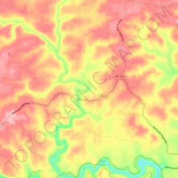
Name: White Creek topographic map, elevation, terrain.
Location: White Creek, Morgan County, Tennessee, United States (36.12233 -84.83963 36.20112 -84.78247)
Average elevation: 447 m
Minimum elevation: 345 m
Maximum elevation: 507 m
Thank you for supporting this site ❤️
Make a donation
Make a donation
Other topographic maps
Click on a map to view its topography, its elevation and its terrain.
Thank you for supporting this site ❤️
Make a donation
Make a donation
Thank you for supporting this site ❤️
Make a donation
Make a donation