
Marden topographic map
Click on the map to display elevation.
About this map
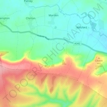
Name: Marden topographic map, elevation, terrain.
Location: Marden, Wiltshire, England, United Kingdom (51.27926 -1.89542 51.32608 -1.86601)
Average elevation: 139 m
Minimum elevation: 96 m
Maximum elevation: 213 m
Other topographic maps
Click on a map to view its topography, its elevation and its terrain.