
Thank you for supporting this site ❤️
Make a donation
Make a donation
Papallacta topographic map
Click on the map to display elevation.
Thank you for supporting this site ❤️
Make a donation
Make a donation
Papallacta
Papallacta is a small village at an altitude of 3,300 metres (10,827 feet) in Napo Province, Ecuador. The village is located off the Eastern Cordilleras, on the road from Quito into the Amazon rainforest.
Thank you for supporting this site ❤️
Make a donation
Make a donation
About this map
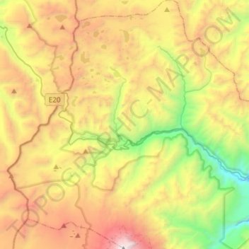
Name: Papallacta topographic map, elevation, terrain.
Location: Papallacta, Quijos, Napo, Ecuador (-0.48438 -78.25596 -0.24104 -78.07250)
Average elevation: 3,809 m
Minimum elevation: 2,352 m
Maximum elevation: 5,692 m
Thank you for supporting this site ❤️
Make a donation
Make a donation