
Thank you for supporting this site ❤️
Make a donation
Make a donation
Kebonsari topographic map
Click on the map to display elevation.
Thank you for supporting this site ❤️
Make a donation
Make a donation
About this map
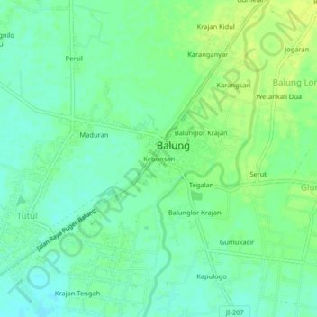
Name: Kebonsari topographic map, elevation, terrain.
Location: Kebonsari, Balung, Jember, East Java, Java, 68161, Indonesia (-8.29747 113.51550 -8.25747 113.55550)
Average elevation: 25 m
Minimum elevation: 17 m
Maximum elevation: 34 m
Thank you for supporting this site ❤️
Make a donation
Make a donation